About Line Location Survey
We offer comprehensive line location survey services to help you accurately map and identify underground utilities, ensuring the safety and efficiency of your projects.
Line Location Survey
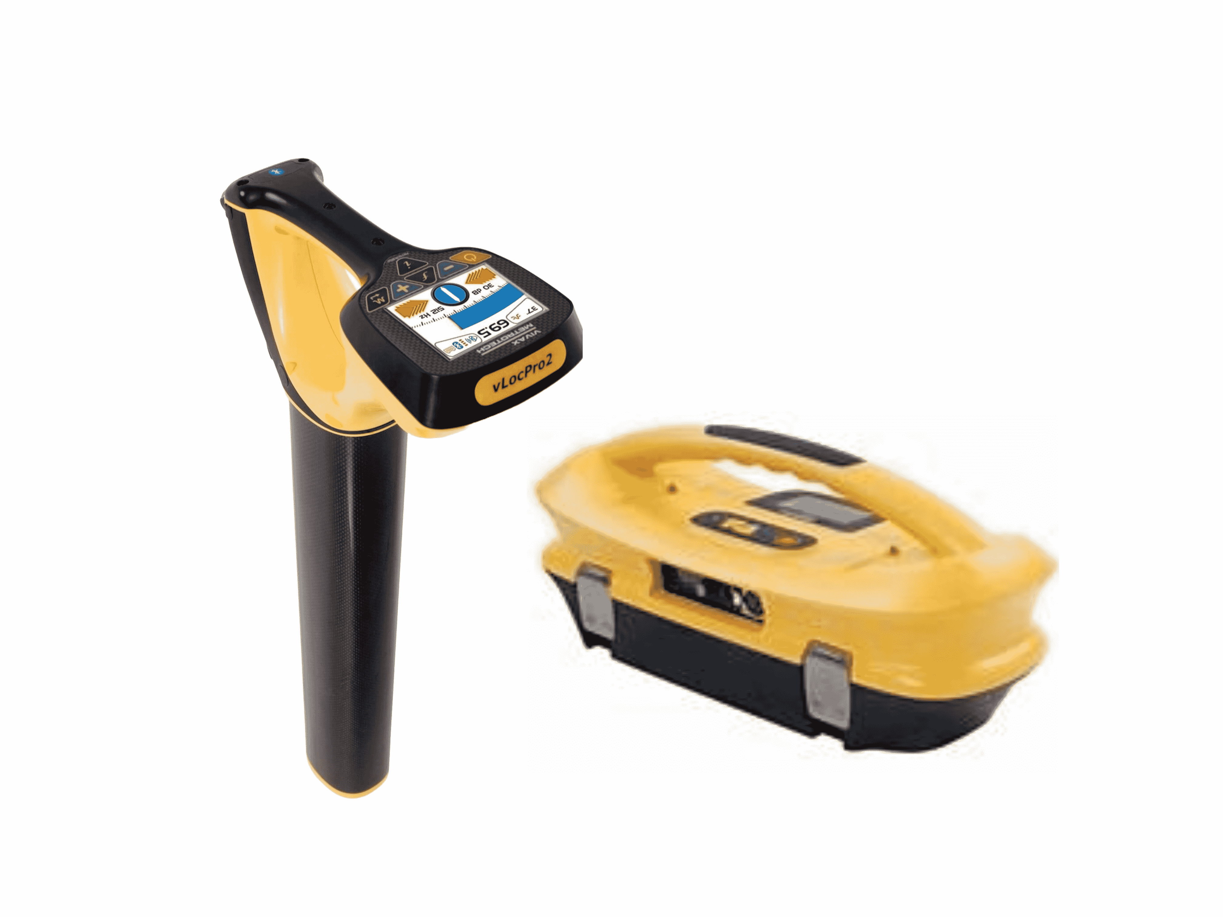
A line location survey is a process used to determine the precise location and path of underground utility lines, such as telecommunications cables, gas pipelines, water mains, and electrical conduits. The survey is conducted to identify the position, depth, and route of these buried lines before any excavation or construction work takes place in the area. The line location survey typically involves the use of specialized equipment, such as ground-penetrating radar (GPR), electromagnetic locators, and utility detection devices. These tools help detect and map the underground utilities by sending signals or pulses into the ground and analysing the responses.